


1 · Start
Neuruppin
Rheinsberger Tor station has a photo and GPS coordinates and provides a clear starting point for rail travellers.
... personally ridden by us and honestly recommended.

From the Fontane town to the town of three lakes
A ride idea with waterside views, Brandenburg landscapes, GPS photos, videos, podcast content and feeder navigation to a selected tour.
The ride idea leaves urban Neuruppin for the Ruppiner Land countryside. Rheinsberger Tor station is documented with GPS and provides a practical start when arriving by train.
Lindow lies between lakes Wutzsee, Gudelacksee and Vielitzsee in the Stechlin-Ruppiner Land Nature Park. Its monastery, history and waterfronts make it possible to combine the journey with a local loop.
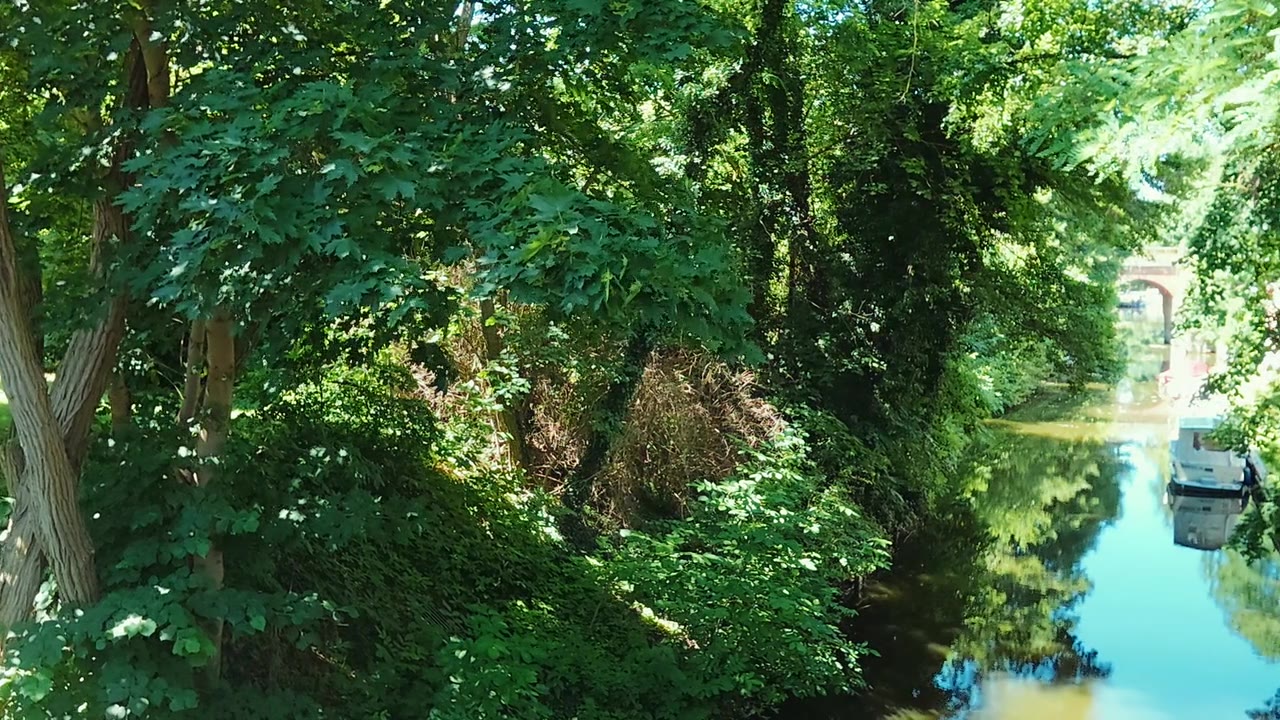
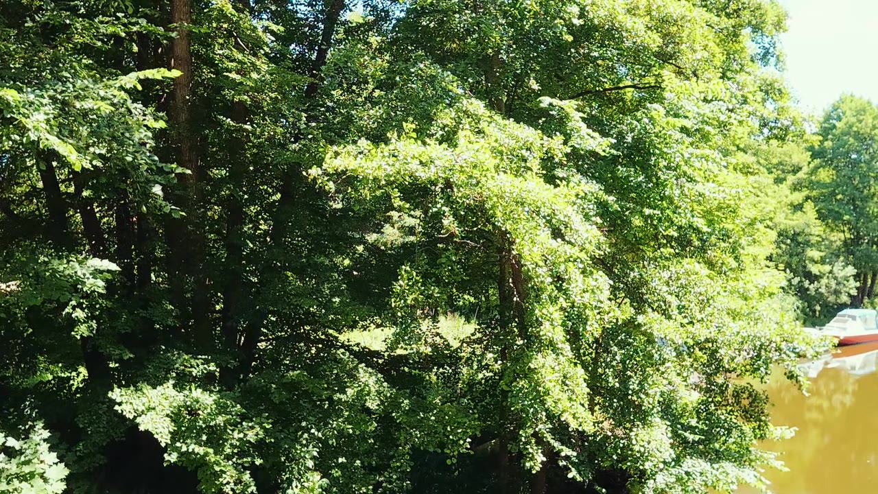
Radtouren-OPR photos and videos show the Vielitz Canal, the bathing area and marina on Gudelacksee. GPS coordinates connect every impression with a real place.
Rheinsberger Tor station has a photo and GPS coordinates and provides a clear starting point for rail travellers.
Choose the exact connection only from a published tour or a personally verified plan. Check surfaces, construction and traffic before departure.
Documented photo and video points on the Vielitz Canal and Gudelacksee can inspire breaks and a local loop.
Every image links to its detail page, keeping the picture, description and GPS position together.


Two published videos show the Vielitz Canal and complement the GPS photos.
Wolfgang and Harald plan an episode about Neuruppin, the ride to Lindow and the lakes. It has not yet been released.
Feeder navigation is used only after choosing an actually published tour.
Open a published tour and scan its QR code.
The phone determines the current starting point.
The system calculates the approach to the selected tour or its entry point.
Important: feeder navigation is calculated automatically and has not been verified by Radtouren-OPR. Observe traffic, signs, closures and surface conditions.
The selected language is carried through linked public areas so international visitors can use photos, videos and tour information.
Lindow lies between Wutzsee, Gudelacksee and Vielitzsee; official tourism information describes its three-lake setting and cycling offers.
Amt Lindow (Mark) · Tourismus-Marketing Brandenburg · Radangebot rund um Lindow
No. A complete verified tour has not yet been published. GPS photos, videos and planning tools are available.
Yes. Use published tours or available sections, and verify any missing connections yourself.
After selecting and scanning a published tour, the system calculates an approach from the current location. It is not verified by Radtouren-OPR.